

First Winter Storm of the Season Brings Snow and Cold Across Eastern US
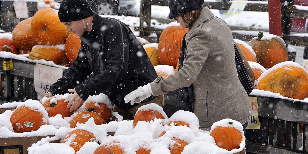
A developing storm system and cold air mass are sweeping across the eastern United States, bringing the season's first snow to parts of New England, upstate New York, and the Appalachians. Additionally, lake-effect snow is triggering warnings around the Great Lakes. Following the storm, a freezing cold front will push temperatures down across much of the country's eastern half.

What happened
- 11 Nov
Low pressure organizes across the Ohio Valley and Great Lakes, bringing widespread rain and initiating lake-effect snow [1] [2]
- 12 Nov
Snow begins falling over higher elevations in the Northeast, while Michigan's Upper Peninsula sees accumulating lake-effect snow [1] [2]
- 13 Nov
The storm moves offshore and strengthens into a nor'easter, delivering gusty winds, rain, and mountain snow to the region [1] [2]
- 14 Nov
Chilly polar air spreads southward, dropping weekend temperatures into the 20s and 30s across much of the eastern US [1] [2]
What you need to know
High elevations in the Green and White Mountains may see more than 4 inches of wet snow [1].
Parts of Michigan's Upper Peninsula could receive 3 to 6 inches of lake-effect snow [1].
Around 160 million people are expected to experience below-average temperatures by Saturday [2].
Cities like Buffalo are projected to experience chilly conditions with only minimal snow impacts [1].
The exact offshore track and final intensity of the developing nor'easter are not completely settled. Meteorologists are also monitoring how far south into the Gulf Coast the freezing temperatures will penetrate.
Background
The early-season winter weather pattern is driven by cold Canadian air pushing southward, supported by a strong ridge building in the western United States and a dip in the polar jet stream. An unusually early disruption of the stratospheric polar vortex over the Arctic has also played a role in pushing cold air into the region.
As energy from the storm moves out of the Ohio Valley toward the Atlantic coast, low pressure is expected to intensify into a nor'easter. Because ground temperatures remain relatively warm in lower elevations, the heaviest snowfall will stay mostly confined to high-altitude mountain regions, while coastal areas deal with rain and strong winds.
Questions people ask
Where is the heaviest snow expected?
The highest snow accumulations are forecast for elevated terrain in upstate New York, Vermont, New Hampshire, and Michigan's Upper Peninsula.
Will big cities be hit hard by this storm?
Major lower-elevation cities are mostly expected to see chilly temperatures, wind, and rain, with minimal winter weather impacts forecast for places like Buffalo.
How low will temperatures drop this weekend?
Low temperatures east of the Mississippi River are projected to dip into the 20s and 30s by Saturday, extending frost risks deep into the South.
Where this came from
Found through Google Trends and drafted with AI from at least two cited sources. Published automatically after passing our automated checks for sources, wording and safety. It may not have been reviewed by a person yet. Report a correction.