


Why is the Ontario snow forecast trending today?
The Ontario snow forecast is trending due to a cold front moving across the region, expected to bring snow and cold temperatures starting Thursday.
What happened
- Earlier
High pressure kept Ontario warm, but a cold front is expected to change that [1].
- 12 Nov, 21:00 UTC
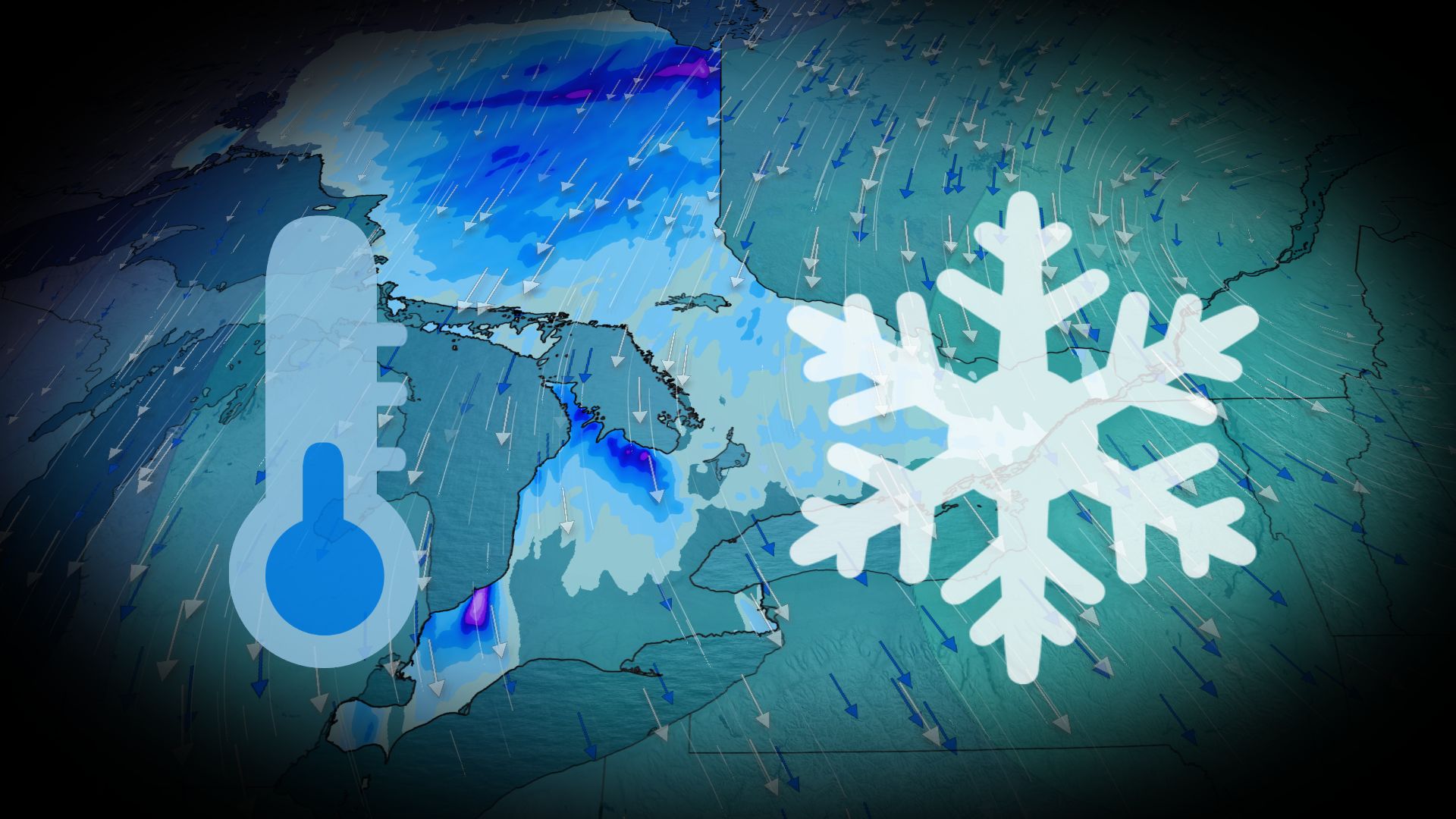
A cold front is forecast to bring snow to southern Ontario, with the first snowfall expected Thursday [1].
What you need to know
Snowfall amounts are expected to be light, with most areas seeing less than 3 cm.
Areas like Sarnia-Lambton and Collingwood may see more snow, up to 5 cm.
Temperatures are expected to drop significantly, with wind chills making it feel even colder.
The exact snowfall amounts and conditions are uncertain, as frequent transitions to rain could affect totals.
Background
A cold front is expected to bring snow to southern Ontario, with temperatures dropping significantly. The snowfall is expected to be light, with most areas seeing less than 3 cm. However, some areas may see more snow, up to 5 cm. The cold front is also expected to bring wind chills, making it feel even colder. The snowfall amounts and conditions are uncertain, as frequent transitions to rain could affect totals.
Questions people ask
When will the snow start?
The first snowfall is expected Thursday, with the best chance for snow in the Greater Toronto Area.
How much snow is expected?
Most areas are expected to see less than 3 cm, but some areas may see up to 5 cm.
Will it be cold?
Yes, temperatures are expected to drop significantly, with wind chills making it feel even colder.
Where this came from

Found through Google Trends and drafted with AI from at least two cited sources. Published automatically after passing our automated checks for sources, wording and safety. It may not have been reviewed by a person yet. Report a correction.