

Why are severe thunderstorms trending in South Africa?
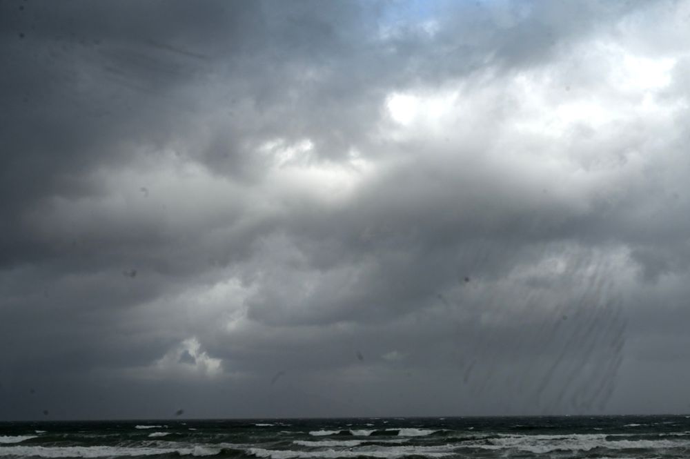
Severe thunderstorms with heavy rain, hail, and lightning are affecting eastern and coastal regions of South Africa, prompting a Level 4 weather warning from authorities. The storms pose risks of flooding, infrastructure damage, and dangerous lightning strikes, leading to urgent safety advisories for residents.

What happened
- 27 October 2026
South African Weather Service issues Yellow Level 4 warning for severe thunderstorms in KwaZulu-Natal, including eThekwini (Durban). Warnings also cover parts of Mpumalanga and Eastern Cape. [1][2]
- 28 October 2026
Disaster management teams remain on standby as storms develop, with residents advised to stay indoors and avoid flood-prone areas. [1]
What you need to know
Stay indoors and avoid travel if possible [1]
Never cross roads or bridges with floodwater above ankle height [1]
Avoid open spaces during lightning and stay away from streams [1]
Monitor official updates via eThekwini Municipality platforms [1]
The full extent of damage or injuries from the ongoing storms has not yet been reported, as weather conditions are still developing.
Background
The South African Weather Service (SAWS) issued impact-based warnings for severe thunderstorms across eastern provinces, including a Level 4 alert for KwaZulu-Natal. [1][2]
Heavy downpours may cause localized flooding in roads, settlements, and low-lying areas, with potential infrastructure damage. [2]
Coastal areas like Durban face particular risks from hail, damaging winds, and excessive lightning. [1]
Questions people ask
Which areas are most affected?
KwaZulu-Natal (especially eThekwini/Durban), eastern Mpumalanga, and parts of the Eastern Cape have active severe weather warnings. [1][2]
What are the main dangers?
Lightning strikes, localized flooding, hail damage, and strong winds that could harm infrastructure and livestock. [1][2]
How long will the storms last?
The warnings are valid from October 27-28, but specific storm duration isn't detailed in current reports. [1]
Where this came from
Found through Google Trends and drafted with AI from at least two cited sources. Published automatically after passing our automated checks for sources, wording and safety. It may not have been reviewed by a person yet. Report a correction.