

Why is the Ontario winter weather forecast trending right now?
The topic is trending because unseasonably warm autumn temperatures have prompted residents to look ahead at upcoming seasonal weather patterns. Recently published long-range projections suggest Ontario will face significant snowfall and rapid temperature swings in the coming months.
What happened
- Late Oct 2026
Unseasonably mild conditions cover parts of the province, pushing temperatures up to 19 degrees Celsius in Barrie [1].
- Mid-Nov 2026
Weather projections indicate a shift toward chilly weather and the season's initial snow showers [2].
- Dec 2026
Fluctuating conditions are slated to bring alternating spells of mild rain and snow [2].
- Jan-Feb 2027
The coldest stretches of the season are expected to deliver severe cold and heavy snowfall [1].
What you need to know
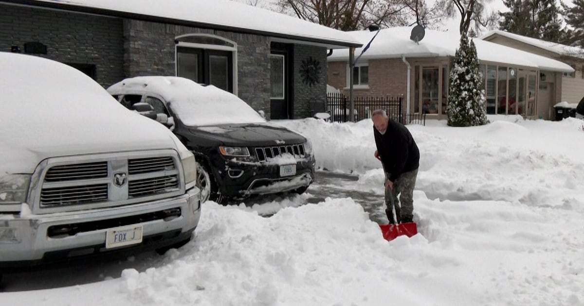
Higher snowfall totals: Although overall precipitation may be lower, above-average snowfall is expected in southern and central regions.
Regional temperature splits: Eastern areas are forecasted to be colder than typical, whereas western sections could experience warmer weather.
Rapid shifts in weather: Winter storms are expected to switch frequently between snow, freezing rain, and rapid freezes.
Key frigid stretches: The most severe drops in temperature are projected for mid-to-late January and throughout February.
While the seasonal outlook outlines general monthly patterns, specific local snow accumulations and exact daily temperatures remain unconfirmed.
Background
As October ends with unusually mild conditions, people across Ontario are looking ahead to what the upcoming winter might bring. Long-range outlooks published in traditional guides like the Farmers' Almanac suggest that despite a drier overall season, the province will likely experience higher-than-average snowfall and strong lake-effect storms downwind of the Great Lakes.
Rather than continuous cold over several months, the seasonal forecast points to volatile weather patterns. Sharp swings in temperature could cause winter systems to start as snow, turn into freezing rain, and then quickly freeze as cold Arctic air sweeps back over the area.
Northern regions are expected to see steady winter conditions, while southern areas face distinct peak snow windows in early January, late January, and mid-March. Last year also presented serious winter weather issues, including an extended emergency weather declaration in Barrie that began in late December.
Questions people ask
When is the heaviest snowfall expected in Ontario?
Long-range forecasts anticipate the snowiest periods to take place in early January, late January, and mid-March.
Will all parts of Ontario have the same winter temperatures?
No, eastern Ontario is projected to be colder than average, while western parts of the province may see warmer temperatures.
Are long-range almanac winter forecasts fully accurate?
Almanacs provide broad seasonal trends based on traditional methods, but actual weather conditions vary and predictions are not guaranteed.
Where this came from
Found through Google Trends and drafted with AI from at least two cited sources. Published automatically after passing our automated checks for sources, wording and safety. It may not have been reviewed by a person yet. Report a correction.