


Severe thunderstorm warning issued for Adelaide
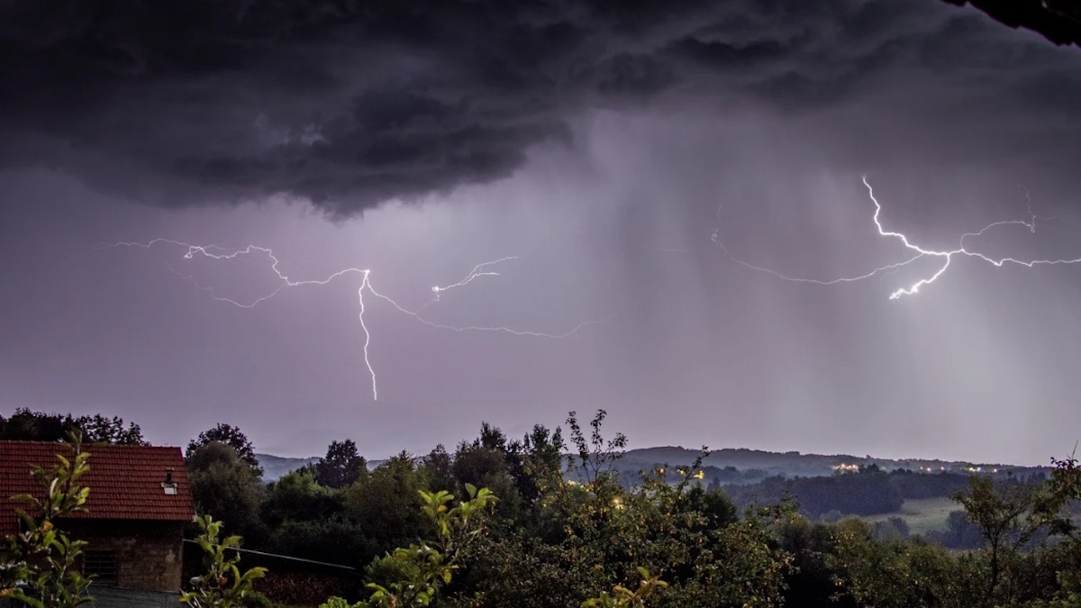
Adelaide is trending due to a severe thunderstorm warning issued by the Bureau of Meteorology. The system is bringing damaging winds to the city and surrounding regions ahead of a cold front arriving later this evening [1].
What happened
- 11 Oct, 12:18 UTC
Woomera Airport records a wind gust of 98km/h [1].
- 11 Oct, 14:42 UTC
A severe thunderstorm warning is issued for Adelaide and several South Australian districts [1].
What you need to know
The warning covers Adelaide Metropolitan, the Yorke Peninsula, and the Mount Lofty Ranges [1].
The State Emergency Service advises securing loose outdoor items and moving cars away from trees [1].
People are urged to stay indoors, avoid windows, and keep away from downed power lines [1].
Temperatures in Adelaide reached 29C on Sunday before a sharp drop is expected Monday [2].
The exact timing of the cold front's arrival across the state is listed generally as 'later this evening' [1].
Background
The current weather is caused by a trough moving east across western South Australia [1]. This is combined with unstable, moist conditions and high-altitude winds that favor severe storms [1].
This event is part of a broader national pattern of shifting temperatures, where heat is moving between different Australian states [2].
Questions people ask
Which areas are affected by the warning?
Affected locations include Adelaide, Gawler, Port Pirie, Port Augusta, and the Murraylands, among others [1].
What should residents do during the storm?
The SES recommends staying inside, securing outdoor objects, and keeping vehicles under cover [1].
Where this came from

Found through Google Trends and drafted with AI from at least two cited sources. Published automatically after passing our automated checks for sources, wording and safety. It may not have been reviewed by a person yet. Report a correction.